Berat
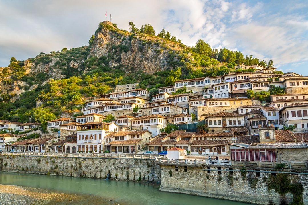
Berat, historically known as Poulcheriopólis and Antipatreia, is the ninth most populous city of the Republic of Albania. The city is the capital of the surrounding Berat County, one of 12 constituent counties of the country. By air, it is 71 kilometres (44 miles) north of Gjirokastër, 70 kilometres (43 miles) west of Korçë, 70 kilometres (43 miles) south of Tirana and 33 kilometres (21 miles) east of Fier.
Geographically, Berat is located in the south of the country surrounded by mountains and hills including Tomorr on the east that was declared a national park. For a total length of 161 kilometres (100 miles) the Osum River runs through the city before it empties into the Seman River within the Myzeqe Plain.
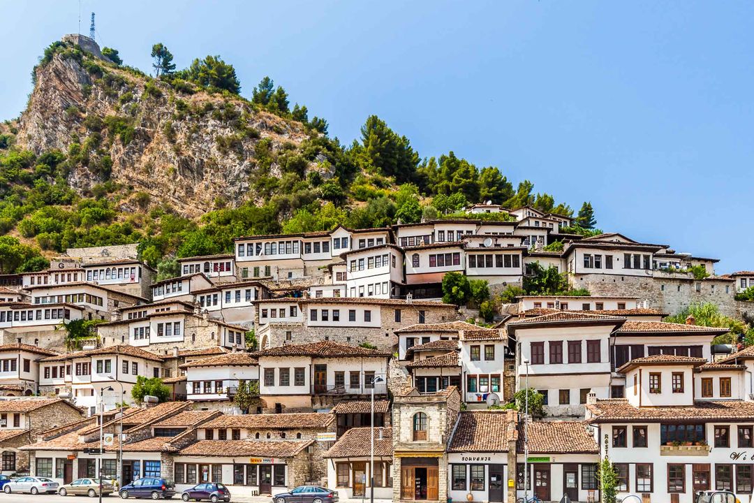
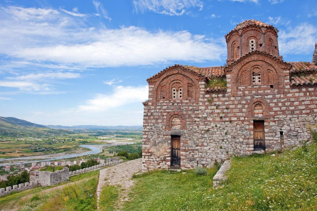
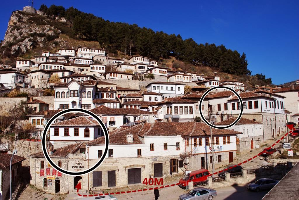
Berat, designated a UNESCO World Heritage Site in 2008, comprise a unique style of architecture with influences from several civilizations that have managed to coexist for centuries throughout the history. Like many cities in Albania, Berat comprises an old fortified city filled with churches and mosques painted with grandiose wealth of visible murals and frescos.
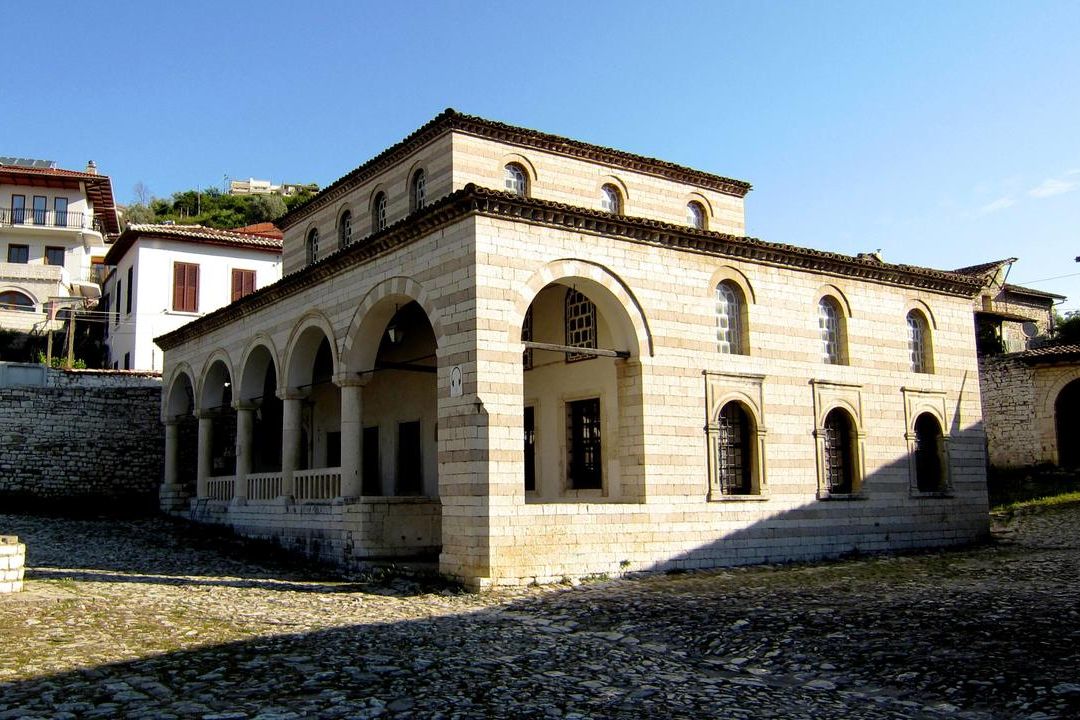
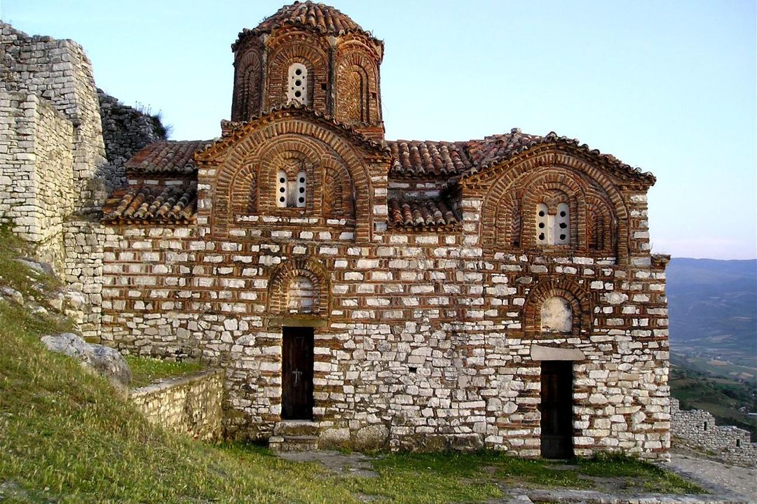
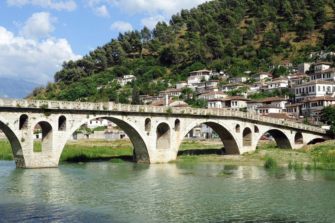
The coexistence of religious and cultural communities over several centuries, beginning in the 4th century BC into the 18th century is apparent in Berat. The town also bears testimony to the architectural excellence of traditional Balkan housing construction, which date to the late 18th and the 19th centuries. Some of the landmarks of that historical period could be seen in the Berat Castle, churches of the Byzantine era such as the Church of St. Mary of Blaherna (13th century), the Bachelors‘ Mosque, the National Ethnographic Museum, the Sultan’s Mosque (built between 1481 and 1512), Leaden Mosque (built in 1555) and the Gorica Bridge.
| Country | Albania |
|---|---|
| Languages spoken | Albanian |
| Currency used | Lekë |
| Area (km2) | 379.98 |


